English
Foundation
Since its foundation in 1980, the Association of Precise Survey and Applied Technology (APA) has been committed to:
- research and development of precise survey and mapping;
- examination and test of leading-edge survey technologies;
- innovation of applied survey technology;
- active commitments to projects of the national and local governments.
The original intent of the APA foundation is to stimulate achievements in the geospatial industry.
APA is supported by the investment and membership dues of the member companies, who recognize the significance of the above-mentioned activities.
Brief overview of business
To achieve the objectives mentioned above, APA has performed the following business:
- comprehensive research and development of precise survey, mapping and applied survey technology;
- planning and holding of conferences, forums, workshops and training courses for geospatial professionals;
- implementation of precise survey, mapping and applied technology and enhancement of availability of the advanced technology for practical use;
- undertaking the required business to commit to the goal of APA.
APA has been widely promoting the research on advanced technology in the field of survey and mapping of the nation’s land, since APA was founded in 1980. A number of studies have been performed by APA members themselves and several research activities have been collaborated with the national governments such as Ministry of Land, Infrastructure and Transport. A number of funded researches are carried on as well as independent studies. As the result of applied research of GPS and/or practical application of airborne laser, for instance, APA has made technical contributions to respond to large-scale disasters and to the global warming.
As a significant activity regarding geospatial information, APA has contributed to the work of ISO/TC 211 on Geographic information/Geomatics as the only domestic deliberative body in Japan appointed by Japanese Industrial Standards Committee (JISC) since 1995. And also APA has been in charge of Japanese Industrial Standards (JIS) in the field of geographic information with providing the Japanese Standards for Geographic Information (JSGI) and disseminating the standards proactively. JSGI, largely based on the international standards, is being examined for a practical use to meet the Japanese conditions. APA starts to test the conformance of Product Specification, Metadata and Software to JSGI and is providing certification since 2006.
APA will make sustained efforts in research and development of precise survey, mapping and applied technology so that the national geospatial data infrastructure, which supports a more affluent society, will be utilized widely.
Achievement of ordinary business
The recent achievements of APA’s ordinary business include the following.
a) Activities related to ISO/TC 211 on Geographic information/Geomatics and JIS
APA has been involved with deliberating the draft international standards in ISO/TC 211 as the domestic deliberative body as well as compiling the relevant drafts of JIS.
For deliberation, APA organized “Japan National Committee for ISO/TC 211”, “JIS Drafting Committee for Geographic Information” and their working teams respectively. In these committees the members have sufficient discussions and a number of members are delegated to the ISO/TC211 plenary meetings held twice a year. Needless to add, the members consist of experienced engineers and academic experts related to GIS.
b) Research and development on new technology
APA accomplished a lot of research and development as follows:
- draft specification for generating DEM by airborne laser system;
- draft manual for procedure of digital orthophoto;
- draft specification for 1:2500-scale topographic spatial data product;
- manual of survey using network-based RTK-GPS.
d) Dissemination and education of new technology
APA members present annually their research achievement at “Geoinformation Forum, Japan” organized by APA. Through the forum, APA promotes dissemination and education of the advanced technology regarding precise survey and mapping.
Other educational seminars and symposia are as follows;
- digital orthophoto seminar for dissemination of “The manual for procedure of digital orthophoto”;
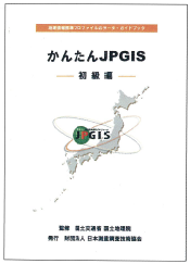
- practical training of JPGIS* (Japan Profile for Geographic Information Standards).
*Geographical Survey Institute (GSI), Japanese national survey and mapping organization, makes efforts to raise awareness of specifications for geographic spatial information (data) – geographic information standards – in order to improve the distribution and sharing of information. In May 2005, GSI announced JPGIS as a more practical standard rule for geographic spatial information.
JPGIS is a profile of JSGI. It is a practical standard that organizes minimum elements extracted from massive documents of JSGI. The government recommends each agent to use JPGIS.
e) Other activities
Since April in 2004, APA has organized five technical working groups as follows:
- aerial measurement and mapping;
- positional information and applied measurement
- GIS
- national land management
- promotion and dissemination
Each working group is encouraging and accelerating development of advanced survey technology and of national land management by use of the national geospatial data.
Events and plan for future
APA continues with providing following forums and seminars for geospatial professionals and experts to exchange ideas, experiences, and visions-finding new ways to use advanced technology:
- R & D forum on precise survey and applied technology (once a year / 500 participants);
- technical seminar (once or twice a year / 50-100 participants each);
- GIS education and practical training (about ten times a year / 20-200 participants each);
- co-sponsoring of events related to “Survey Day”, map exhibition, etc.
Publications
a) Journal
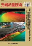
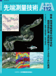
Journal of Advanced Surveying Technology (issued quarterly).
b) Website (/)
Information service related to APA business.
c) Edition and distribution of technical documents
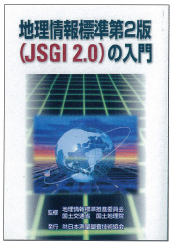
- Guide of Japanese Standards for Geographic Information – 2nd edition (supervised by Geographical Survey Institute of Japan).
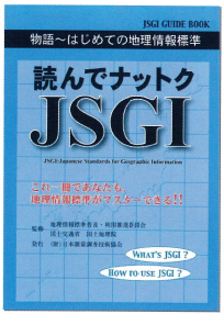
- The story of JSGI – getting started on JSGI – (supervised by Geographical Survey Institute of Japan).
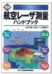
- The airborne laser scanning survey handbook (English version available).
- Introduction to GIS.
- GIS answer book for beginners.
- Handbook of public survey planning.
- First step of JPGIS.
Events and plan for future
In accordance with the progress of standardization of GIS, APA established particular department “GIS Center” in 2003 and got officially started on JPGIS dissemination and educational mission related to JPGIS.


